The Key Points
- A strong cold front is set to hit Greater Akron this week, possibly bringing the season's first measurable snow.
- El Niño conditions influence weather patterns, resulting in later-than-usual snowfall and warmer winters in Northeast Ohio.
- Wind gusts exceeding 40 mph are expected, alongside rain turning to wet snow by midweek.
- Historical weather trends show Akron’s winters can range from mild to extreme, with unpredictable snow and temperature patterns.
A Cold Front Changes Everything
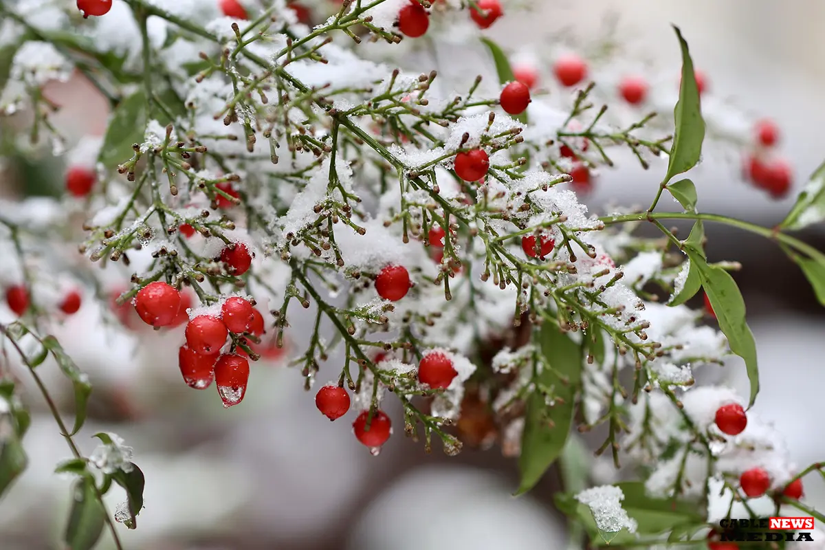
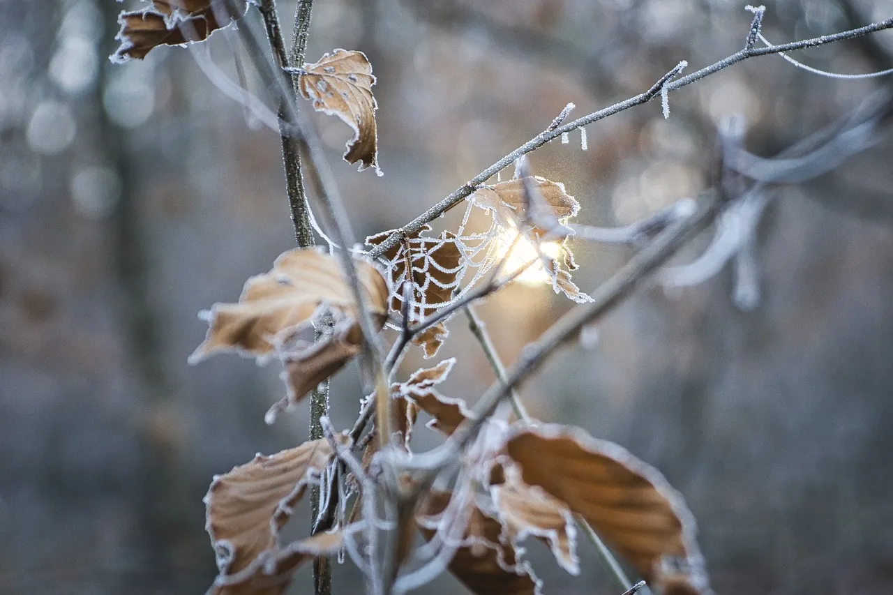
Greater Akron residents are preparing for the season's first potential snowfall as a strong cold front is set to descend on the region this week. The National Weather Service has issued a forecast warning of gusty winds, plunging temperatures, and a mix of rain and wet snow, signaling winter’s official arrival. While the timing and accumulation remain uncertain, the predicted weather shift underscores the unpredictable nature of Akron's winters, heavily influenced by recurring El Niño conditions.
From Warm to Wintry in Days
The week began on a mild note, with highs in the 60s, but the calm is expected to give way to stormier weather. Starting Wednesday, an intense low-pressure system forming over the Great Lakes will drag in a cold front, bringing rain showers that will transition into snow as temperatures plunge into the 30s. Wind gusts could exceed 40 mph, adding a wintry chill.
By Wednesday night, rain and snow showers are likely, with little to no accumulation initially expected. However, snow could linger into Thursday and Friday, raising the chances of measurable accumulation by week’s end.
El Niño Delays Snow, But Not Winter
Historically, Akron sees its first snowfall around November 9, but recent winters have defied expectations due to El Niño. This climate pattern, characterized by warmer-than-average Pacific Ocean temperatures, often results in delayed snow and milder winters in Northeast Ohio.
According to the National Oceanic and Atmospheric Administration (NOAA), El Niño conditions are again in play this year, leading to predictions of a warmer and wetter winter for the Great Lakes region.
Despite these trends, winter weather remains a wildcard in Akron. Records show snowfall has arrived as early as October 2 (1974) and as late as Christmas Day (2001). Similarly, the last measurable snow of the season has occurred as early as March and as late as May. With Thanksgiving approaching, weather in Akron could range from rain-soaked streets to a snowy holiday landscape.
Akron’s History of Snow Surprises
For long-time residents, Akron’s winters are as much a cultural tradition as they are a meteorological phenomenon. The region averages 47 inches of snow annually, though totals vary significantly depending on weather patterns. Thanksgiving, often a bellwether for the winter season, has seen everything from balmy highs of 70°F (1896) to a frigid low of 7°F (1930).
The snowiest Thanksgiving occurred in 1975, with 1.1 inches of snow recorded. These variations remind us that while meteorologists can make predictions, nature often has the final say. This year's forecast remains uncertain for those hoping for a white Thanksgiving, but the current weather systems could make it a reality.
The Week’s Forecast in Detail
The detailed forecast for Greater Akron includes a gradual shift from mild conditions to winter-like weather. Monday starts with mostly cloudy skies and a high near 60°F, accompanied by light winds. By Tuesday, showers roll in, with a high near 61°F and gusts reaching 21 mph. Wednesday sees the arrival of rain, intensifying as temperatures drop to a high of 58°F and a low of 34°F by nightfall.
Snow is expected to mix overnight, and a continued blend of rain and snow will persist through Thursday, with highs near 37°F. Residents are advised to prepare for slick roads, reduced visibility, and strong winds. While snow accumulation may be minimal initially, colder temperatures could allow for accumulation on grassy areas and elevated surfaces by late Thursday.
Looking Ahead: A Winter of Surprises?
The arrival of snow, however late, signals the start of another unpredictable winter season in Akron. For some, it’s a nostalgic reminder of the past snowy holidays; for others, it’s a call to stock up on salt and ensure shovels are ready. Regardless of individual sentiment, one thing is sure: winter is coming, bringing its usual mix of surprises.
Looking ahead, meteorologists will closely monitor the interplay between El Niño and regional weather patterns. While warmer winters might delay snowfall, they won’t entirely eliminate the icy grip of Ohio’s notorious winter. For now, residents are urged to stay tuned to updates, prepare for the worst, and hope for the best—a hallmark of life in Northeast Ohio.
| Day | Forecast | Precipitation Chance | Wind Gusts | Snow Accumulation |
|---|---|---|---|---|
| Monday | Mostly cloudy, high near 60°F. | 20% | Light winds | None |
| Tuesday | Showers begin, high near 61°F, gusts up to 21 mph. | 80% | Up to 21 mph | None |
| Wednesday | Rain intensifies, high 58°F, low 34°F overnight. Snow likely. | 80% | Up to 40+ mph | Minimal, mixed with rain |
| Thursday | Mix of rain and snow, high near 37°F. | 80% | Up to 30 mph | Possible on grassy areas |
| Friday | Rain and snow showers, high near 43°F. | 80% | Moderate winds | Possible on grassy areas |

Jenifer Diaz brings a wealth of journalistic experience and a passion for storytelling to her role as Editor at CableNewsMedia. With over a decade of experience in local and regional reporting, she is dedicated to delivering impactful, community-centered news that resonates with readers across Akron and Central Ohio. Known for her keen eye for detail and commitment to journalistic integrity, Jenifer ensures that every story published reflects the values of accuracy, fairness, and independence.


